Florida Law Catches Up to Stalking Drones
By James Michael Shaw , Jr., Ryan Hilton | Blog Posts
October 7, 2022
Partner | Extra-Contractual, Construction, Casualty Defense Litigation, Trucking, Third-Party Coverage, Aviation
813-594-5682
rhilton@butler.legal
Overview | Blog Posts | Aviation | Ryan Hilton | Related | Print | Share
The Federal Aviation Administration’s (“FAA’s”) authority to institute airspace restrictions derives from 14 CFR § 99.7, “Special Security Instructions,” which is intended to address national security concerns from the Department of Defense and U.S. Federal security and intelligence agencies.
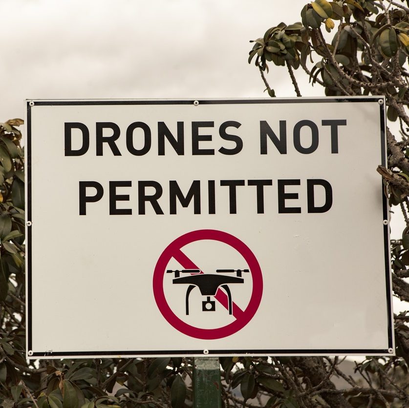
Effective April 14, 2017, the FAA-designated drone-restricted flight areas around 133 military installations.[1] This was the first time that the FAA had instituted airspace restrictions that specifically applied only to drones. The restrictions limit drone flights up to 400 feet within the lateral boundaries of these 133 facilities. There are only a few exceptions that permit drone flights within these restrictions, and they must be coordinated with the individual facility and/or the FAA.
Effective October 5, 2017, at the request of U.S. national security and law enforcement agencies, the FAA and the Department of Interior restricts drone flights up to 400 feet within the lateral boundaries of these DOI sites:
There are only a few exceptions that permit drone flights within these restrictions, and they must be coordinated with the individual facility and/or the FAA. This was the first time the FAA placed airspace restrictions for drones over DOI landmarks.
Effective December 29, 2017, the FAA and Department of Energy restrict drone flights up to 400 feet within the lateral boundary of these sites:
There are only a few exceptions that permit drone flights within these restrictions, and they must be coordinated with the individual facility and/or the FAA. This was the first time the FAA placed specific airspace restrictions for drones over DOE sites.
Section 2209 of the FAA Extension, Safety, and Security Act of 2016 also directs the Secretary of Transportation to establish a process to accept petitions to prohibit or restrict drone (or UAS) operations over critical infrastructure and other facilities. The Department of Transportation and the FAA are currently evaluating options to implement such a process.
To ensure public awareness of these restricted locations, the FAA has created an interactive map online at http://uas-faa.opendata.arcgis.com/. The link to these restrictions is also included in the FAA’s B4UFLY mobile app. The app is updated within 60 days to reflect any new airspace restrictions. Additional information is available on the FAA’s UAS website.
For any further questions, please contact Ryan Hilton.
[1] Fed. Aviation Admin., FAA Restricts Drone Operations Over DOE Facilities, www.faa.gov/news/updates/?newsid=89365.
[2] Fed. Aviation Admin., FAA Restricts Drone Operations Over Certain Military Bases, www.faa.gov/news/updates/?newsId=87865.
[3] Fed. Aviation Admin., FAA Restricts Drones over Statue of Liberty, Other Landmarks, www.faa.gov/news/updates/?newsId=88811.
By James Michael Shaw , Jr., Ryan Hilton | Blog Posts
October 7, 2022

By Ryan Hilton | Blog Posts
January 26, 2021